Without an H

Photography from south-east Asia by Jon Sanwell

Posts tagged ‘landscape’

Urban Ha Giang

170429-343-edited

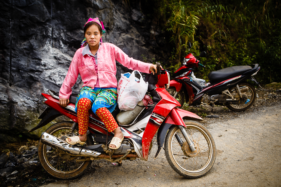
Most of the pictures we see from Vietnam’s Ha Giang province focus on rural life: landscapes, markets, villages, people from ethnic minorities in traditional costume. Nothing wrong with that, of course; I’ve taken plenty of those pictures myself, and posted them here.

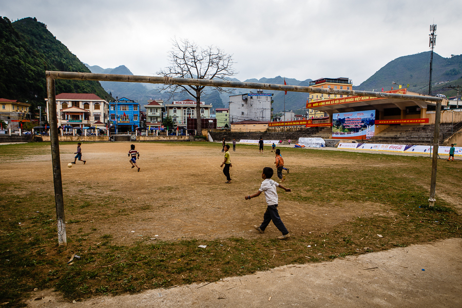
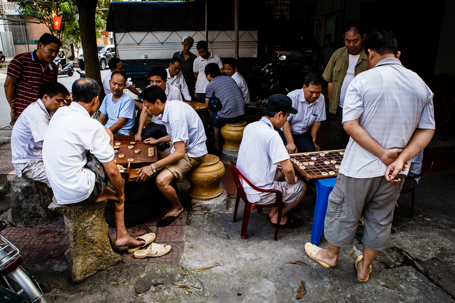
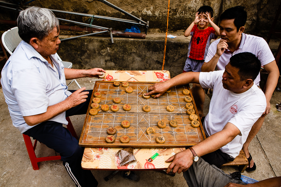
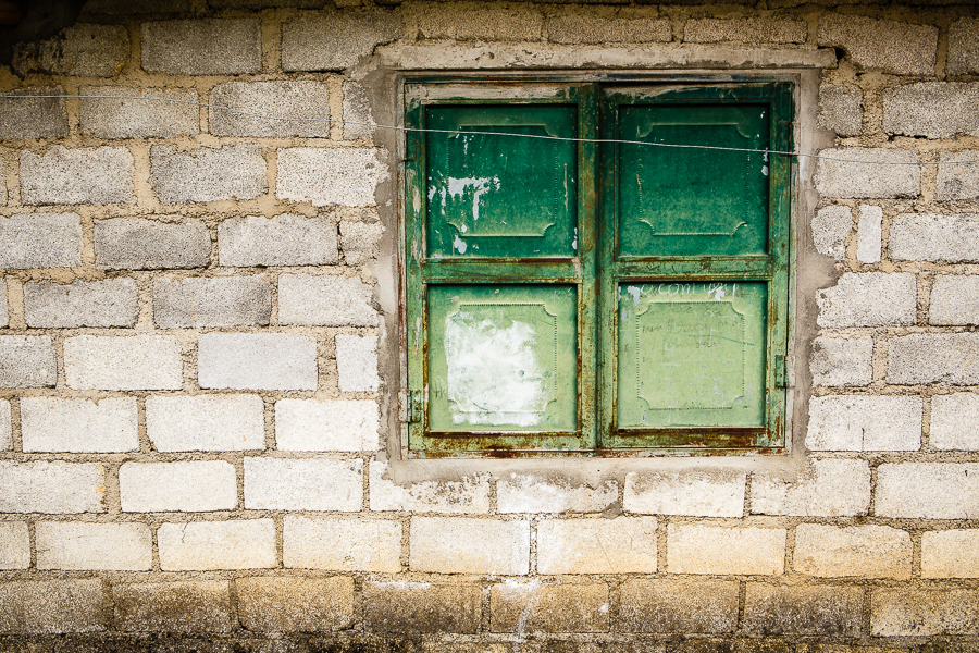
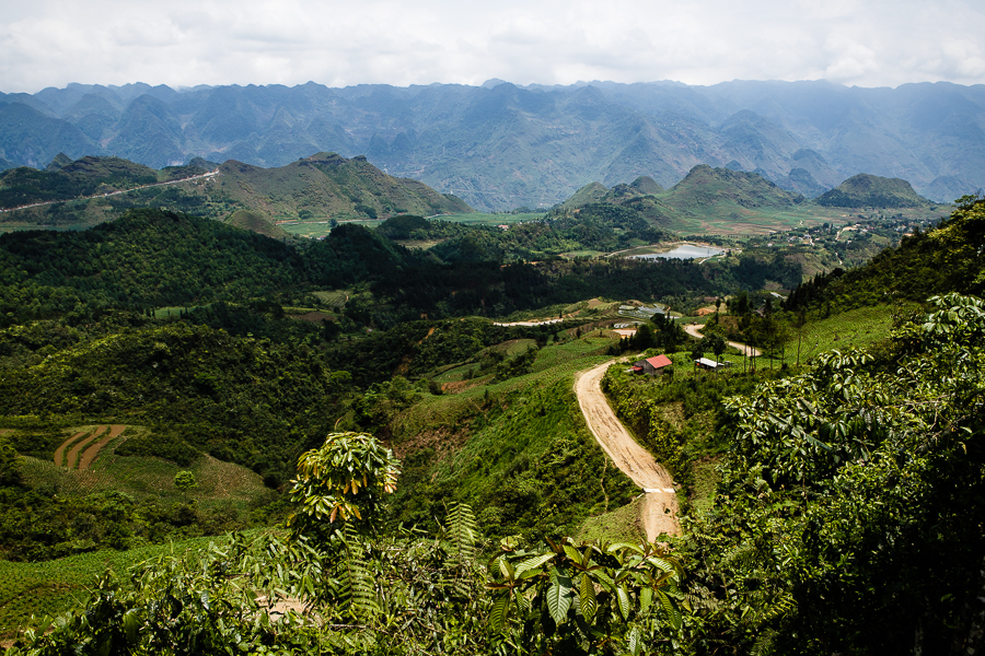
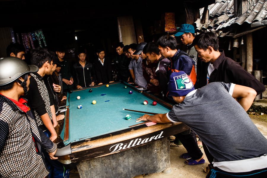
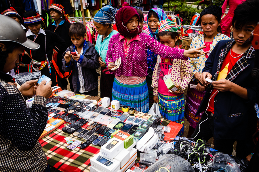
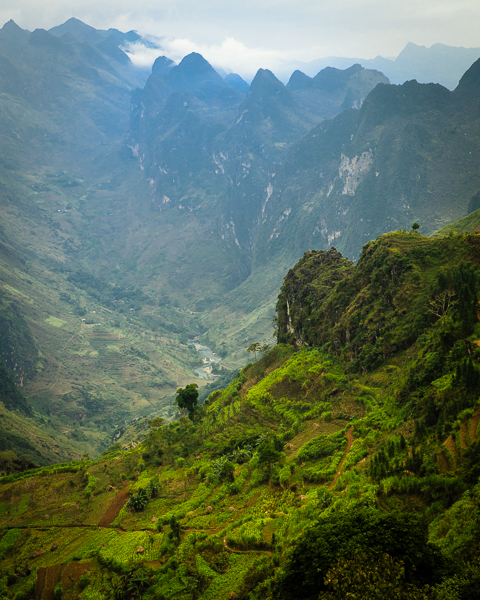
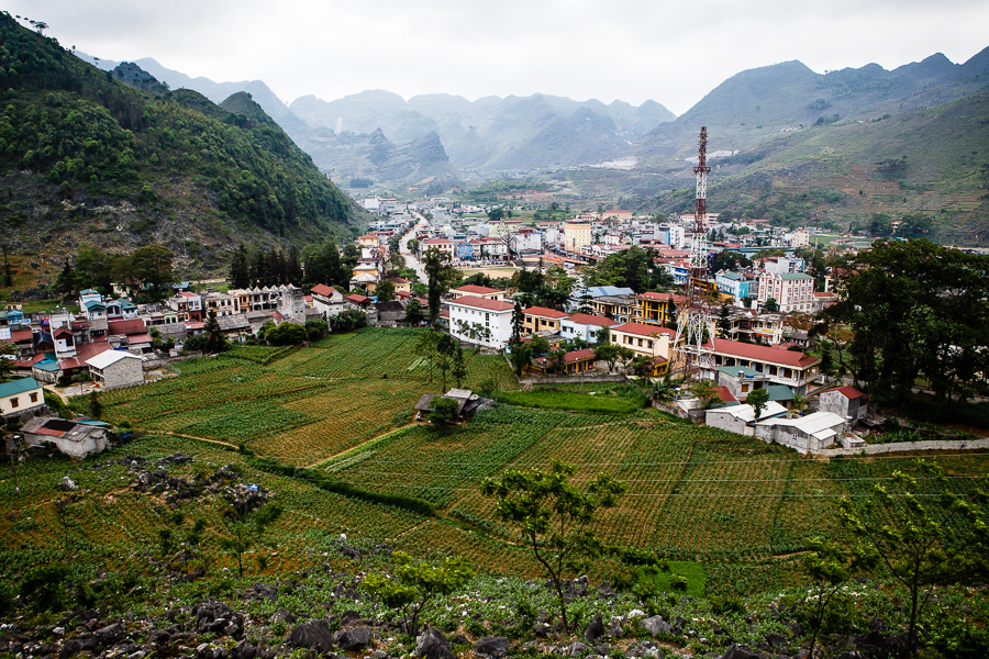
But what about the urban life of the province? Dong Van, Meo Vac, Yen Minh and Ha Giang City may not be the most vibrant locations – nobody goes there for the nightlife – but there’s plenty of interest in the everyday life of these unassuming, low key towns. Travelling through the province in the autumn of last year and the spring of this, I became fascinated by urban Ha Giang: the banh cuon joints, the cafes and tea stands, the meat and vegetable markets, the games of checkers and volleyball, the windows and doorways, all the little things that make up the lives of these highland towns.

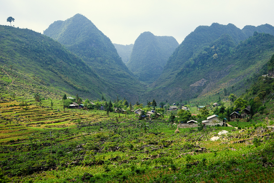
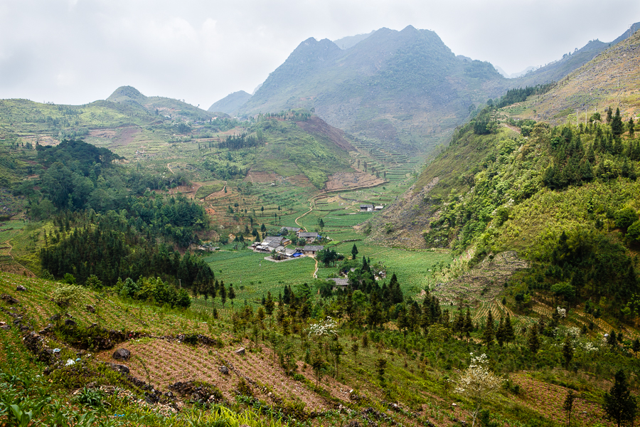
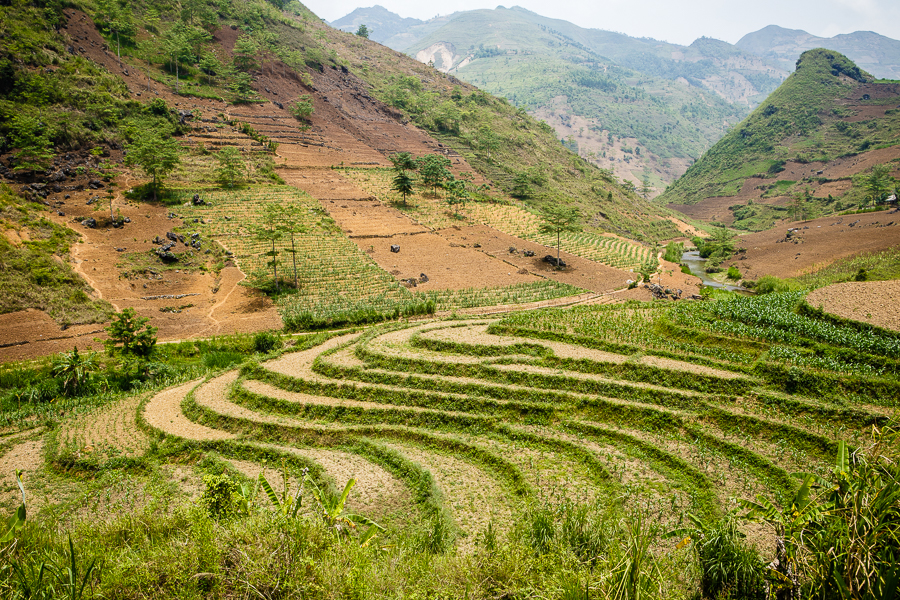
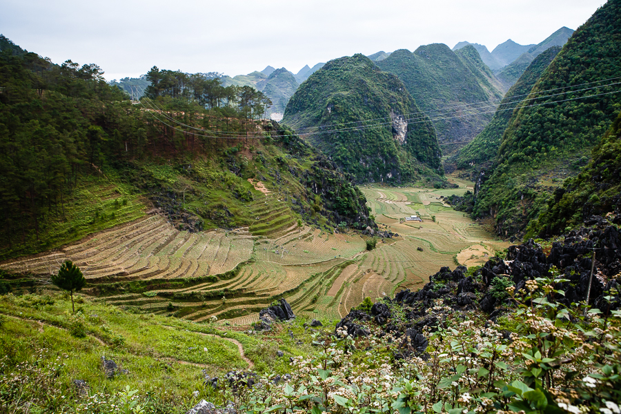
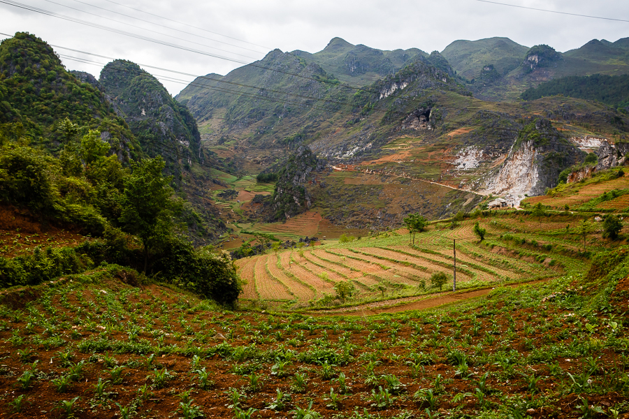
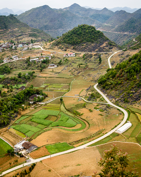
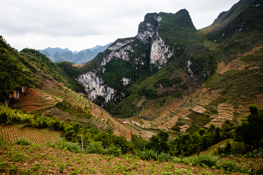
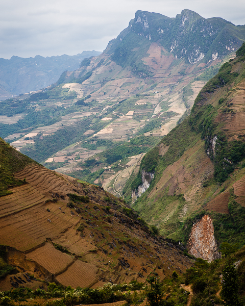
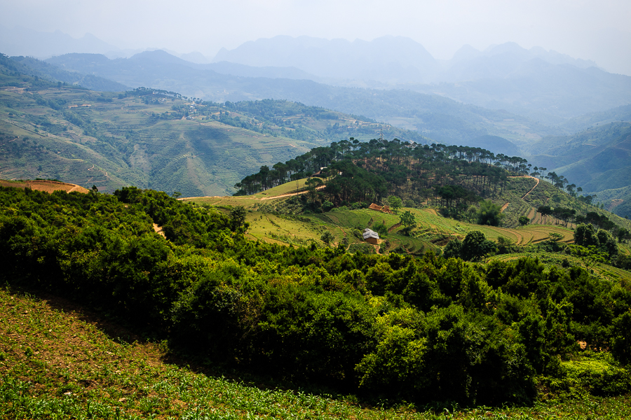
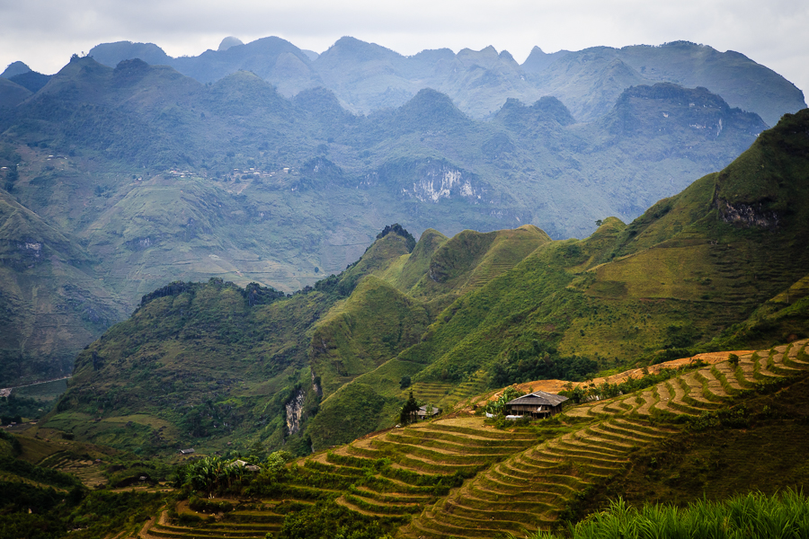
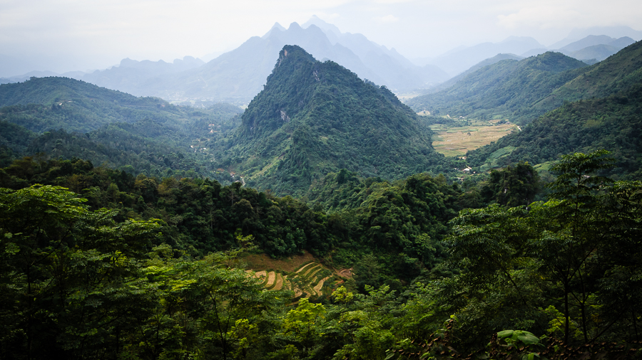
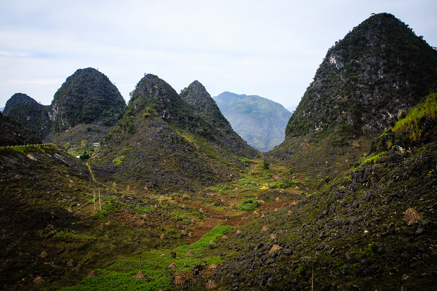
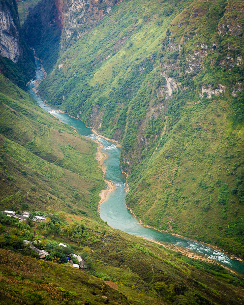
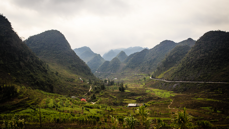
I think these towns are more than just places to spend the night before speeding off on the next leg of the loop. They are surrounded by mountains and karsts but, overlooked by breathtaking scenery, daily life goes on as normal. I suppose even the most beautiful surroundings can become mundane if you see them every day.

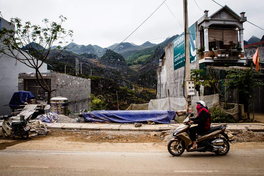
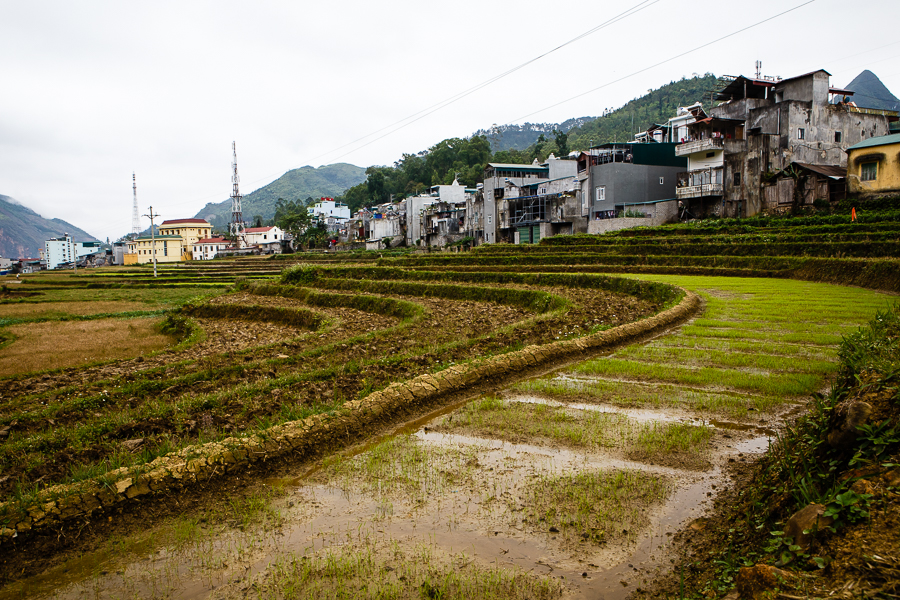
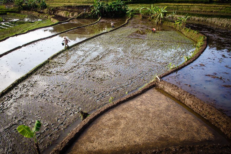
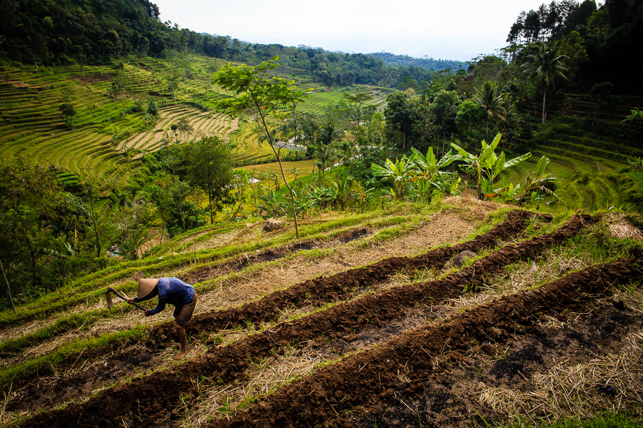
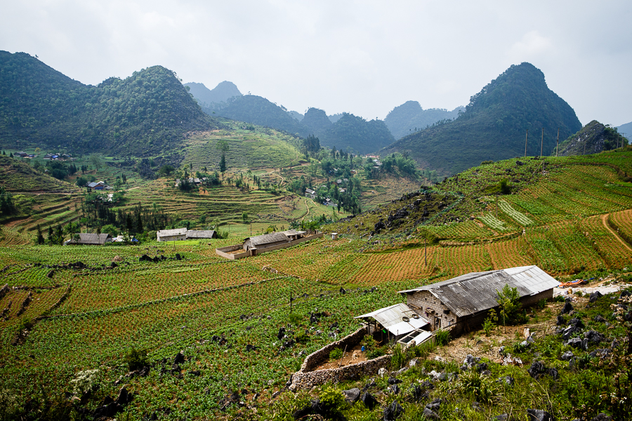
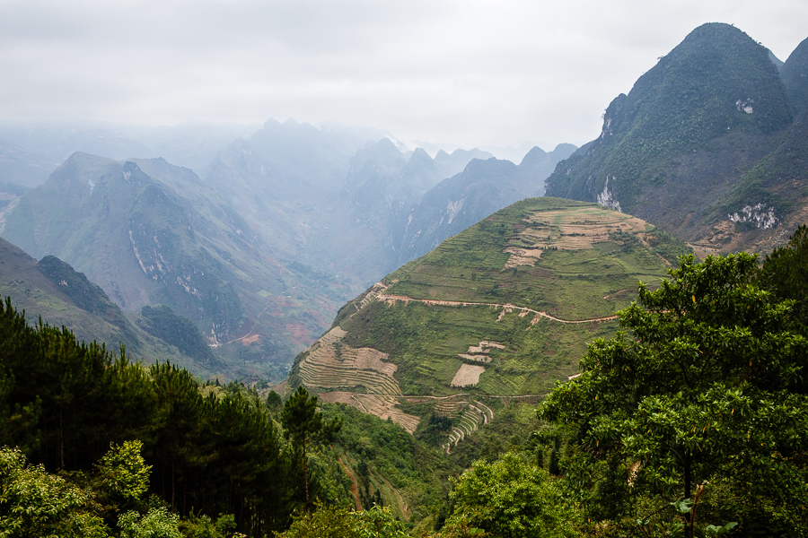
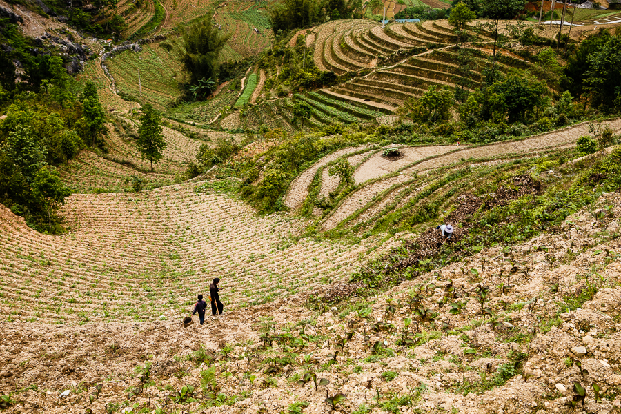
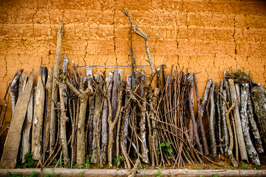
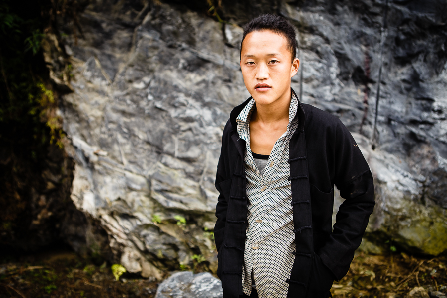
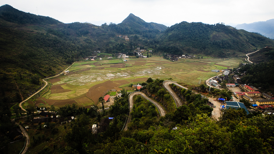
Of course, you can’t completely ignore the rural element in this part of the country, even in the towns. There’s no dividing line; the rural and the urban blend into each other. Walking down the streets of Dong Van or Yen Minh, you can catch glimpses of the surrounding countryside through gaps between the buildings where houses are being knocked down or built up. Dong Van is a town surrounded by mountains and sheltering a basin of rice fields. People from Vietnam’s numerous ethnic minorities are in the majority here.

These pictures were all taken in Dong Van, Meo Vac, Yen Minh and Ha Giang in April and May of this year.

170429-379-edited

170501-265-edited

170429-331-edited

170429-094-edited

170429-062-edited

170503-392-edited-2

170501-212-edited

170503-441-edited

170501-380-edited

170429-392-edited

170429-305-edited

doors-windows-2

170429-006-edited

170501-483-edited

170503-465-edited

170503-497-edited

170503-526-edited

170501-438-edited

A Javanese sunset

170606-328-edited-2

I don’t take many sunset pictures, but I like this image of the fisherman wading through the shallow waters back to dry land. It was taken at the end of a long day in East Java, which began with a climb up a volcano, Mount Bromo, and ended with a stroll around the nearby port town of Probolinggo.

Jon vs. the volcanoes

170606-025-edited-2

One of the joys of travelling to a new place is getting up at stupid o’clock in the morning to take a look at something unlike anything you’ve ever seen before. And so it was that I rose at 2am (two hours before I went to bed) to make the trip to Mount Bromo, probably the best-known of the many volcanoes in Java. The trip began with a climb to the Penanjakan viewpoint for sunrise, before descending the hill into the low-lying clouds and walking across the Sea of Sand and then climbing up to the rim of the crater itself.

170606-031-edited

Sunrise view of Mount Bromo from Penanjakan hill.

170606-096-edited

Walking across the ‘Sea of Sand’ to the volcano

170606-109-edited

170606-172-edited

One thing I wasn’t prepared for was the noise coming from the crater, a constant, angry rumble.

170606-191-edited

If I ever open a pub, I’m going to call it the Horse and Volcano.

*     *     *     *     *

170609-052-edited-3

It really is that colour.

A couple of days later, after a similarly early start and another pre-dawn climb, I found myself looking out over the extraordinary, otherworldly turquoise sulphur lake in Ijen crater as the sun rose behind me. Choking fumes filled the air, as wandering tourists and photographers crossed paths with tough, hard-working sulphur miners.

170609-106-edited

A sulphur miner takes a well-earned rest.

170609-120-edited

Not the surface of Mars, but it could be.

170609-118-edited

These two volcanoes, Bromo and Ijen, are among the most-visited sites in Java, but that doesn’t make them any less extraordinary to see, especially if, like me, you’ve never set eyes on an active volcano before. Memorable sights don’t necessarily make for compelling photographs, however, and I don’t think these pictures are among my best. I struggle sometimes, when faced with much-photographed locations like these, to make photographs that offer anything different to what’s been done before. I think these pictures give a decent idea of what these places look like, but don’t quite capture what they felt like. That doesn’t really detract from my memories of these early morning visits, but I’ll remember Bromo and Ijen more for the experiences than for the photographs.

Around Borobudur

170530-291-edited

A few pictures taken in and around Borobudur town: a farmer sharpening his scythe; rice terraces on the road to Selogriyo temple; a house in the shape of a giant camera; and buddha carvings, large and small.

170531-008-edited

170531-028-edited

170531-048-edited

170531-069-edited

170531-125-edited

170530-334-edited

170531-186-edited

170531-198-edited

170531-208-edited

170531-231-edited

170531-220-edited

170531-260-edited

170531-242-edited

Going slow on the Ma Pi Leng pass

170429-144-edited-2

It’s only about 25km from Dong Van to Meo Vac, but if you’re like me it can take hours to drive, because you have to keep stopping to take more photographs. This stretch of road, the Ma Pi Leng pass, is widely considered the most awe-inspiring in northern Vietnam, and that’s against some pretty stiff competition. I promised myself that I would drive past the merely beautiful and only stop for the breathtaking, but I still seemed to be stopping the bike every couple of minutes to take pictures.

It was difficult to get the balance right on this trip. Obviously, I wanted to come back from Ha Giang with photographs I could be proud of, but I also wanted to enjoy the experience of simply being there. It’s all too easy to see everything through a lens, to spend too much time thinking about photography and not appreciate the experience while it’s actually happening. There’s a time for stopping to take pictures, and a time for savouring the thrill of motorbiking through these wonderfully twisty mountain roads.

I was definitely guilty of over-shooting on this trip – I came back with lots of very similar photographs. It’s a habit I’ve got into as a result of taking a lot of portraits, I think. When photographing people, I’ll often take many shots of the same person, shooting from different angles, trying to capture different expressions and gestures before the moment is lost. A landscape isn’t going to go anywhere or change the look on its face, so I could probably have adopted a slower, more considered approach. Changes in the light and weather can of course have an effect on the look of a landscape picture, but these tend to happen slowly, not like the fleeting looks that pass across a person’s face. On this drive along the Ma Pi Leng pass, there were many changes on the weather, the clouds falling like a frown, before the sun broke through like a smile.

170429-113-edited

170429-132-edited-2

170429-137-edited

170429-163-edited-2

170429-175-edited

170429-182-edited

170429-199-edited

170429-212-edited

170429-226-edited

170429-230-edited

170429-263-edited

170429-270-edited

170430-806-edited

170430-837-edited

170430-844-edited

North of north

170427-111-edited

Driving from Yen Minh to Dong Van, a distance of about 50km, you find yourself surrounded by a landscape that is harsher and rockier than the farmland around Ha Giang City and Tam Son. There’s great variety to the surroundings in this part of northern Vietnam – steep, barren hillsides abruptly give way to green valley floors.

Despite the rough terrain, there is still plenty of agricultural land in this area. When I visited in late April / early May, some of the rice terraces were green and flooded, while some were newly planted, so were dry, brown and earthy.

At the highest point of the journey, before the descent into Dong Van town, the landscape becomes more jagged and inhospitable, but no less beautiful, as dark volcanic rock looms over the road and countless limestone karsts recede into the distance.

170427-062-edited

170427-127-edited

170427-134-edited

170427-141-edited

170427-162-edited

170427-163-edited

From Dong Van, many visitors make the trip up to Lung Cu. Sometimes referred to as Vietnam’s north pole, this is the northernmost part of the north. Roadside signs remind drivers that they are in the “frontier area” between Vietnam and China. Lung Cu’s flag tower, a popular destination for domestic tourists, provides almost aerial views of the surrounding countryside. The road to Lung Cu passes throuth a few other small villages, such as Ma Le, as well as some isolated single dwellings, clinging to the hillside in improbable places.

170428-024-edited

170428-028-edited

170428-062-edited

170428-097-edited

170428-075-edited

170428-129-edited

170428-163-edited

170428-143-edited

170428-192-edited

170428-249-edited

170428-273-edited

170428-276-edited

170428-288-edited

These last two pictures are of the same scene but taken at different focal lengths. I wouldn’t normally post two such similar pictures, but I just can’t decide which one I prefer.

170428-303-edited

170428-304-edited

Heaven’s Gate under the sun

170426-135-edited

A few weeks ago, I made my second visit to Ha Giang, the mountainous province in the far north of Vietnam, and spent a fantastic few days motorbiking through the region’s spectacular scenery. This was a slightly longer version of the trip I made in November; I wanted to give myself plenty of time for numerous photography stops, and to enjoy the drive without rushing.

The pictures in this post were taken on the first and last legs of the trip, between Ha Giang City and Yen Minh, taking in Quan Ba district and the mountain pass known as Heaven’s Gate. On my first trip, this whole stretch was obscured by clouds and rain, but fortunately the spring weather was much kinder, and I was able to see – and photograph – a lot more this time round. The green valleys and rice terraces of this part of the region are punctuated by limestone karsts, bizarre conical rocky growths that wouldn’t look out of place in a Lord of the Rings film, while towns and villages huddle in the plateaus and cling to the hillsides.

More pictures from Ha Giang coming soon.

170426-137-edited

View of Tam Son town and the mountains known as the ‘Fairy Bosom’

170426-095-edited

170502-113-edited

A good spot for a selfie

170426-092-edited

170426-078-edited-2

170426-065-edited

170426-194-edited

Firewood in Nam Dam village

170426-158-edited

170427-012-edited

Traffic

170502-091-edited-2

170502-031-edited-2

170502-016-edited-2

170427-038-edited-2

170427-023-edited

Looping the loop (day 4 in Ha Giang)

161111-167-edited

For most of this trip to Ha Giang province, in the mountains of northern Vietnam, I was concentrating on taking landscape pictures, something I don’t do that often. It was a nice change of pace for me; when I’m shooting portraits or street scenes in Hanoi, I’ll often take a lot of pictures of the same person or scene, hoping to find the right expression, angle or moment. Landscape photography is a slower, more considered process, and requires a different mindset. I should do more of it. But there’s more to Ha Giang than landscapes. Early in the morning of my last day on the road, I visited the tiny market village of Du Tien, near Du Gia, and had the chance to shift gears and go back to taking people pictures. I always enjoy wandering around markets in Vietnam, and elsewhere in south-east Asia, and I wish I’d taken in more on this trip. This market was mostly made up of stalls selling clothes, fabric and household goods, and was populated by people from a number of different ethnic minority groups.

161111-071-edited

161111-022-edited

161111-020-edited-2

161111-049-edited

161111-028-edited

161111-101-edited-2

161111-092-edited

161111-145-edited-2

161111-178-edited

161111-182-edited

161111-203-edited

After leaving the market, we embarked on the final leg of the journey, from Du Gia back to Ha Giang City. The low cloud of the morning gave way to hazy sunshine as the day progressed.

161111-263-edited

161111-267-edited

161111-293-edited

161111-309-edited

161111-334-edited

I remember approaching Ha Giang City again, the loop almost complete, watching the distance to our final destination gradually counting down on the roadsigns, and wishing that this wasn’t the end and that the journey could continue for longer. I was feeling nostalgic about the trip, and it wasn’t even over yet. As I mentioned in the first of these Ha Giang posts, I’d wanted to visit this beautiful province for years; I’m so glad I finally made it up there, and am looking forward to a return visit in the spring.

161111-355-edited

Borderland (day 3 in Ha Giang)

161110-055-edited

My third day in Ha Giang province, and we spent the morning driving from Dong Van to Lung Cu and back. Lung Cu is the northernmost point of Vietnam and is best known for its mountain-top flag tower, a none too subtle symbol of national pride just a few kilometers from the border with China. The morning was cloudy but dry, so for the first time on this trip I was able to put aside my waterproof poncho and non-matching plastic over-trousers (not pictured). The sun came and went, sometimes peeking through the cloud, changing the colours of the rice terraces and mountainsides along the route.

161110-075-edited

161110-095-edited

161110-104-edited

161110-121-edited

161110-122-edited

161110-138-editeddong-van-x4

On returning from Lung Cu, there was time for a quick lunch in Dong Van before hitting the road again in the afternoon. Next time I visit Ha Giang, I’ll spend a little longer in Dong Van, two nights rather than one, and try to be there for the Sunday market. The town has a strong Chinese flavour (unsurprising, given its location close to the border) and reminded me of Yuanyang in Yunnan province, which I visited back in 2013.

After lunch back in the town, we set off for Du Gia, via the Ma Pi Leng pass. This high-altitude mountain road follows the Nho Que river from Dong Van to Meo Vac. Many people say it’s the most beautiful spot in all of Vietnam, and I’m not going to argue. It’s fully deserving of every superlative you can throw its way – truly stunning, awe-inspiring, breath-taking. Having just heard, the previous day, the result of the U.S. election, I needed this reminder that there is plenty of goodness in the world. I began to entertain thoughts of waiting out the next four years up in the mountains of Ha Giang, and leaving the rest of the world to it.

161110-157-edited

161110-170-edited

161110-186-edited-2

161110-193-edited-2

161110-196-edited

161110-212-edited-2

161110-218-edited

161110-220-edited

161110-235-edited-2

Late in the afternoon, the road went higher and the cloud came lower. The heavy mist and black, volcanic rock, along with the mostly empty road, made for an eerie, unearthly atmosphere. I wish I’d taken more pictures along this stretch, but we were keen to reach our destination before it got dark, and time was against us. But it’s good sometimes to leave some pictures untaken. I have those images in my head still, and I can try to get them on camera another time.

161110-246-edited

That’s all from me for 2016. Thank you to everyone who’s been following the blog, and best wishes for the new year.